How the landscape shapes political choices
A country can have a long coastline yet struggle to reach the open ocean. It can possess rich mineral deposits yet lack affordable routes to markets. It can cover a vast area yet feel exposed along one border. These puzzles become easier to understand when a political map is read alongside a physical one.
In Prisoners of Geography, Tim Marshall argues that geography places lasting limits on national power. Mountains, plains, rivers, climate, and access to the sea shape the choices available to governments. Leaders and ideologies change. Many of the physical problems they face remain.
First published in 2015, the book develops this argument through ten regional chapters. The original publisher identifies the ten regions and Marshall’s sole author credit. This summary focuses on that established framework. Later editions revise the political context; their updates should not be mistaken for predictions made in the original book.
Geography changes the cost of action
Marshall uses geopolitics broadly. It includes physical terrain, but also population, resources, cultural regions, and the borders inherited from history. His published introduction presents geography as a missing part of political explanation.
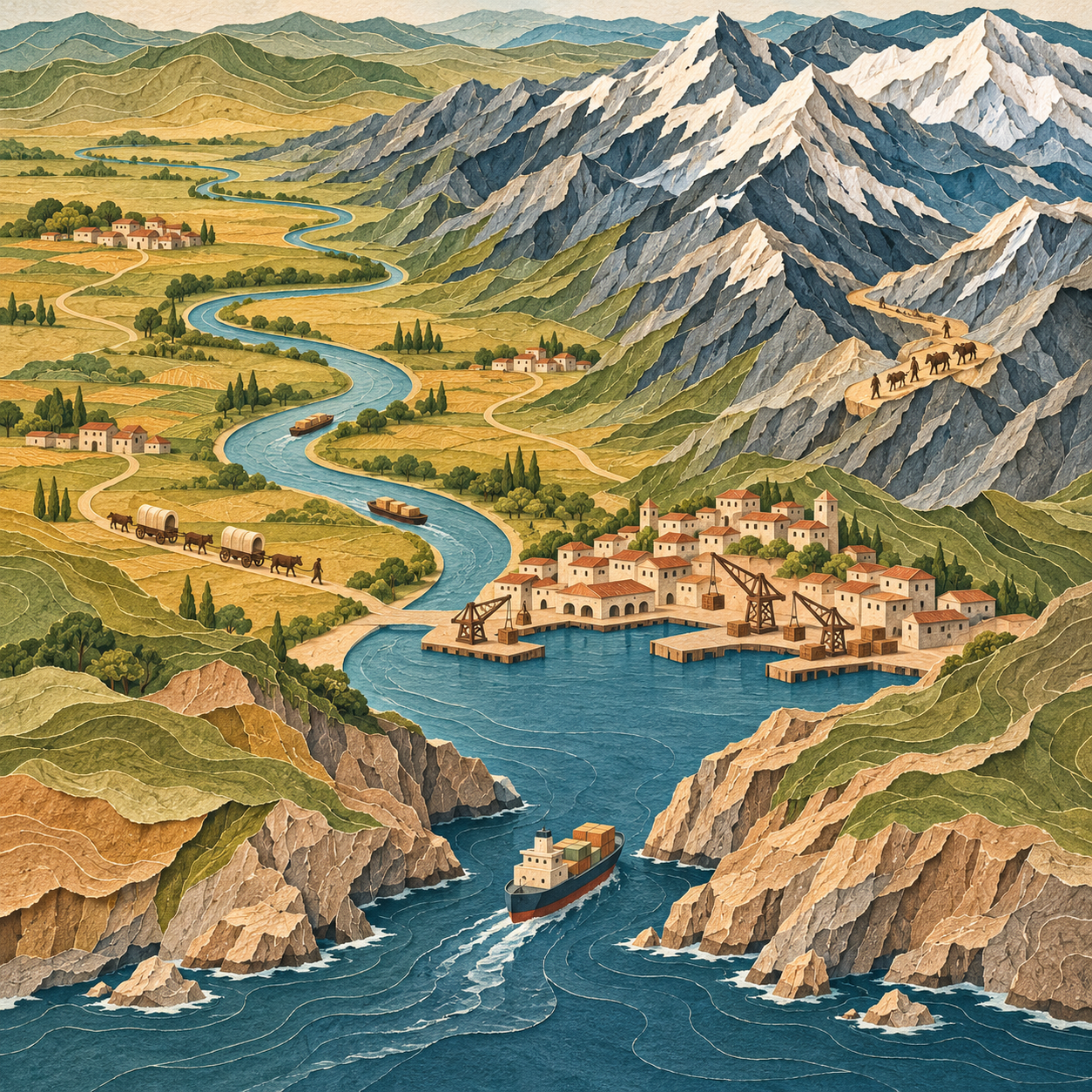
The useful question is how a feature changes what people can do. A river may carry freight cheaply, separate armies, or supply water across several countries. A mountain range may protect a population while making internal transport expensive. The same feature can provide security and impose an economic burden.
An illustrative comparison makes this concrete. Two farming districts may grow similar crops. If one can send grain downstream to a port while the other must haul it across mountains, their access to world markets differs. Political decisions still matter, but they begin from different transport costs.
Russia: size, exposure, and access to the sea
Russia provides Marshall’s clearest example of strategic insecurity. Its enormous territory does not give every important region a strong natural boundary. The broad plains to the west help explain why Russian rulers have repeatedly sought distance between potential enemies and their political heartland.
Strategic depth means space that an opponent must cross before reaching vital centers. Marshall connects Russia’s search for this space with its desire for influence over neighboring states. He also emphasizes maritime access. A port’s value depends on ice, its location, and the passages connecting it to wider seas.
In this account, Crimea and Sevastopol matter because of the Black Sea fleet. Yet reaching the Mediterranean still requires passage through the Turkish Straits. A useful port does not automatically provide unrestricted ocean access. The publisher-hosted sample contains the Russia chapter, including the relationship between territory, naval access, and energy infrastructure.
The limitation is crucial: identifying a government’s strategic concern does not establish a right to control its neighbors. Those neighbors have security interests and political agency too.
China: land security meets maritime dependence
Marshall explains Tibet partly through the strategic value of high ground and water sources. From Beijing’s perspective, control of the plateau helps secure the approaches to China’s interior. This is an account of state interests, rather than a judgment that those interests settle Tibetan political rights.
China’s outward economic growth creates another problem. Trading across oceans requires secure sea routes. Marshall therefore connects the development of naval power with the protection of commerce. A large economy can remain vulnerable if other powers can obstruct its maritime connections.
In a later interview about the book, he discusses the chain of islands facing China’s coast, including Japan, Taiwan, and the Philippines. Their position helps explain the strategic importance of nearby waters. This geographic perspective adds context to disputes, but cannot predict whether a particular crisis will lead to war.
The United States and Europe: connections support power
Marshall presents the United States as unusually fortunate in its physical setting. Fertile land and a large navigable river system support production and internal trade. Access to the Atlantic and Pacific supports wider commerce and naval reach. Its position also reduces exposure to the kinds of nearby great-power land threats that dominate some other regions.
The argument joins opportunity with historical action. Territory had to be acquired, connected, and governed. Physical advantages did not build a continental state by themselves. A critical reading must also remember the conquest and displacement involved in that expansion.
Europe provides a related comparison. Navigable rivers, productive plains, and useful ports supported exchange. However, separate river basins, mountain barriers, and distinct national histories also helped sustain political division. Marshall’s contrast is between the benefits of connection and the persistence of separate interests. These regional comparisons also appear in Peter Lorange’s review.
A practical implication follows: being close on a map does not guarantee easy economic or political integration. Routes and institutions must make that closeness usable.
Africa and Latin America: resources need usable routes
Marshall challenges the idea that abundant resources automatically produce prosperity. Across parts of Africa, deserts, forests, highland terrain, and breaks in river navigation complicate transport. A river with substantial rapids cannot serve as one continuous shipping route merely because it looks connected on a map.
His Latin American discussion similarly emphasizes the difficulty of connecting places across mountains and large interiors. The Andes and extensive forest regions complicate movement. Colonial transport patterns often connected extraction sites to coastal outlets rather than linking neighboring inland economies. Derek Sivers’s reading notes record this distinction between routes for exporting wealth and routes for internal exchange.
These arguments concern particular obstacles, not a single condition shared by every country on either continent. Infrastructure investment, land ownership, colonial extraction, and government choices affect how strongly a physical barrier limits development.
The important distinction is between possessing something valuable and being able to use it on favorable terms. A mineral deposit needs transport, energy, finance, and reliable institutions before it can support broad prosperity.
The Middle East and South Asia: borders outlast their makers
Marshall’s Middle East discussion emphasizes the mismatch between some state boundaries and the communities within them. Imperial settlements placed different populations under common governments and divided others between states. Terrain and access routes then affected struggles over those territories.
This is more complex than saying that every straight border causes conflict. A boundary becomes politically important through the institutions, identities, and unequal power around it. In an interview about adapting his work for younger readers, Marshall acknowledges the difficulty of explaining colonialism and religious divisions without excessive simplification.
His India and Pakistan chapter extends the connection between inherited boundaries and strategic anxiety. Kashmir matters through national identity and its position among neighboring powers. The Himalayas also make large movements between India and China difficult. Such barriers raise the cost of conflict; they cannot remove border disputes or prevent all fighting.
Japan, Korea, and the Arctic: different forms of exposure
Japan illustrates how an island position can provide protection while increasing dependence on maritime supply. Marshall links its resource needs to the importance of sea routes. Korea illustrates another kind of vulnerability: a divided peninsula situated among larger powers. Political division and the interests of neighboring states make its future more complicated than a shared cultural identity might suggest.
The Arctic closes the book by showing that geographic constraints can change. Marshall treats retreating ice as a potential opening for shipping, resource access, and competition. The publisher’s introduction outlines these final regional themes.
The broader lesson is that changing access creates new political questions. A shorter line on a map does not by itself establish a safe or economical shipping service. Weather, infrastructure, environmental damage, and agreements over access still matter.
Where the argument needs qualification
The book’s strongest contribution is to make readers ask better spatial questions. Its main danger is geographic determinism: treating terrain as if it dictates one necessary political outcome.
A plain can permit invasion in either direction. It cannot tell us which government will attack, whether an army will succeed, or whether neighboring societies will cooperate. These outcomes require explanations involving institutions, ideology, leadership, and public choices. A map supplies constraints; it cannot establish motives by itself.
Marshall himself makes this distinction explicitly in a 2026 interview with The Ukrainian Week. He says that geography helps explain Russian behavior without justifying it, and that political leaders remain responsible for their decisions. This later clarification should be kept separate from the original book’s stronger language about necessity.
Technology also changes what a physical obstacle means. Bridges, ports, aircraft, and pipelines can alter the cost of moving people and goods. Their construction depends on money and political cooperation. Geography therefore interacts with human action rather than remaining a fixed verdict on national prospects.
A useful way to apply the book
A reader can turn Marshall’s approach into a simple habit. When studying an international dispute, locate the population centers, defensible terrain, transport routes, water sources, and ports. Then ask who controls access and what alternatives exist.
Next, test the geographic explanation against political evidence. Whose viewpoint does it describe? What choices remain available? Who bears their costs? This second step is an application of the book’s ideas, rather than a formal method supplied by Marshall.
The durable takeaway is that political power must operate through real places. Understanding those places improves an explanation. Understanding people and institutions remains necessary to complete it.
Sources
- Elliott & Thompson: original book details — author, publication year, thesis, and ten-region structure.
- Simon & Schuster: introduction excerpt and Elliott & Thompson: introduction and Russia sample chapter — primary text.
- Curious Worldview: Tim Marshall interview, 2021 — later discussion of China, Taiwan, and the Arctic.
- Geographical: Tim Marshall interview, 2022 — communication, reporting, and the risks of oversimplification.
- Peter Lorange: regional review and Derek Sivers: reading notes — secondary cross-checks of representative examples.
- The Ukrainian Week: Tim Marshall interview, 2026 — later clarification of explanation, justification, and political responsibility.

