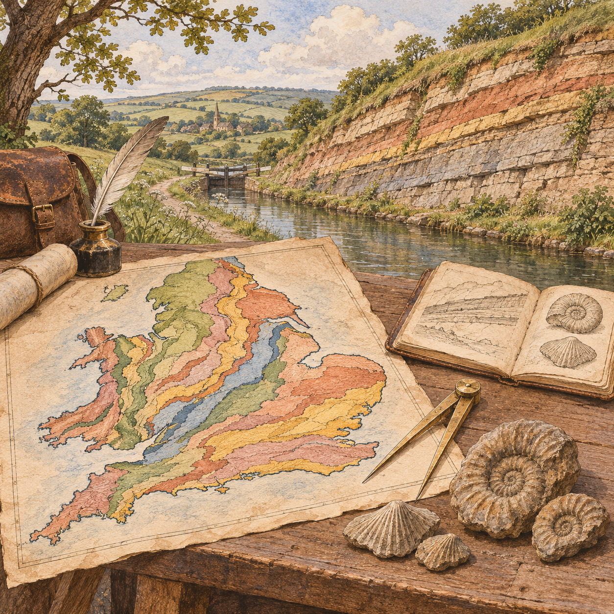
Reading the History Beneath the Landscape
A landscape shows only a small part of the rock beneath it. William Smith learned to connect these scattered clues. He used rock layers and their fossils to reconstruct a hidden order across England and Wales. His geological map made that order visible to others.
Simon Winchester’s The Map That Changed the World tells the story of this achievement and its human cost. Its central argument is that Smith changed geology by turning local observations into a method of prediction. Winchester also asks why a discovery of great public value could leave its maker poor and largely unrecognized. The publisher’s account presents the book as a story of scientific achievement, ruin, and eventual recognition.
A Surveyor Learns to Compare Places
Smith’s training came through practical work. Born in Oxfordshire in 1769, he became a surveyor. Mining, canal construction, and land improvement gave him access to exposed rock. His work required him to measure ground and understand what lay below it.
These jobs provided a kind of moving laboratory. A mine revealed layers below the surface. A canal cutting exposed a sequence along its route. Travel let Smith compare one district with another. The Oxford University Museum of Natural History, which holds his archive, describes how these activities supported his detailed records of rocks and fossils.
The important step was comparison. A single exposure could look like an isolated curiosity. Repeated observations suggested a stable relationship among layers. Around Somerset, Smith recognized sequences that resembled those he had already seen elsewhere. Excavations for the Somerset Coal Canal gave him further evidence. The Geological Society’s account of his developing theory traces this gradual process.
Winchester makes practical experience central to the story. Smith’s work supplied both the question and the evidence. The challenge was to turn a surveyor’s local knowledge into an explanation that could travel beyond the places he knew.
Fossils Become Evidence of Order
Strata are layers of rock. Stratigraphy studies their sequence and relationships. Smith’s key insight was that particular fossils could help identify particular strata. A fossil was therefore more than a specimen to collect. Its position in a rock sequence gave it scientific meaning.
The idea enabled correlation: matching rock layers at separate locations. Smith could compare their characteristic fossils, together with their rock properties and position in the sequence. The Natural History Museum’s explanation emphasizes combinations of distinctive fossils, including ammonites, as evidence for identifying layers.
Consider an illustrative case. Two quarries stand far apart, with fields hiding the ground between them. Similar fossil groups appear in corresponding layers at both sites. Those fossils provide evidence that the layers belong to the same part of the geological sequence. The observer can begin to connect places that cannot be followed continuously on foot.
This method also makes context essential. A loose fossil on a shelf has lost some of its information. A specimen linked to a recorded bed can help test a claim about the landscape. Smith’s collection supported his maps because he knew where its specimens belonged.
The method established relative order. It did not assign numerical ages in years. Its achievement was to make the sequence of the past readable across space.
From a Sequence to a National Map
Smith’s 1799 table of strata near Bath was an early statement of this order. He developed it with the clergymen Benjamin Richardson and Joseph Townsend. The surviving table’s history records how Smith identified the beds associated with Richardson’s fossils and demonstrated his reasoning in the field.
The larger task was to place these relationships on a map. Published in 1815, Smith’s map covered England and Wales with part of Scotland. John Cary supplied the cartographic and publishing expertise. Colors marked the different strata. Changes in shading helped communicate how the layers related to one another. The Geological Society’s history of the map explains how its simplified base map kept geographical detail from obscuring the geology.
A surface map and a geological section answer different questions. The map shows where rock units reach the surface. A section shows their arrangement underground along a chosen line. Together, they help a reader imagine a volume of rock beneath a flat sheet of paper.
This distinction explains the map’s power. Its colored areas were evidence for a larger structure. They allowed people to reason about ground they could not directly see.
Why the Map Had Practical Value
Winchester connects geological understanding to mining, construction, and other decisions about land. In his author interview, he argues that geological maps underpin choices about resources and major works. His broad claim is that Smith helped make the ground predictable.
The practical implication is a change in the quality of a question. Instead of asking only whether a promising material appears nearby, a surveyor can ask which formation should occur below a site. A proposed mine or canal can then be assessed against a regional geological model.
This does not remove the need for local investigation. A map guides inquiry. It cannot replace every measurement or excavation. The useful lesson is that a good representation can reduce blind search by showing which possibilities deserve attention.
Achievement Without Financial Security
Winchester gives the story an unsettling turn. Smith completed a work with lasting value, yet he entered debtors’ prison in 1819. The book’s opening excerpt introduces him at his release from King’s Bench Prison. The reader encounters the consequences before learning how he reached them.
The causes need care. The Geological Society’s account of the aftermath identifies irregular earnings, costly publications, and poor business decisions. A failed quarry investment also damaged his finances. He sold his fossil collection to the British Museum, but his financial position remained precarious. He eventually lost his London home and moved north.
The map’s scientific value and its commercial return were different things. Its benefits could spread to users who did not provide Smith with a secure income. Nor did his skill in recognizing strata guarantee sound investment decisions. His ruin cannot be explained simply as the price of genius or the result of one rival’s actions.
Recognition Arrives Late
Smith continued working as a surveyor and geologist. His nephew John Phillips helped him, and employment with Sir John Johnstone in Yorkshire brought greater stability. The Geological Society’s account of his later years records this continuing work, including his map of the Hackness estate.
In 1831, the Society awarded him its first Wollaston Medal. Adam Sedgwick acknowledged his influence on the study of English strata. The Society’s recognition record makes clear that his methods had influenced geology before this formal honor.
For Winchester, this ending restores a neglected person to the history of science. It also leaves a harder question: why did public recognition take so much longer than the spread of useful knowledge?
Reading Winchester’s Heroic Account Critically
The book’s strength is its connection between an abstract scientific method and a difficult life. Its dramatic framing also needs qualification.
First, Smith was a major pioneer within a developing science. Earlier geological maps existed. NASA’s historical account distinguishes his achievement by its geographical reach and detail. Calling it simply the first geological map can hide this distinction.
Second, Winchester presents George Bellas Greenough’s rival map as an act of appropriation. The Geological Society offers a more complex account. Greenough used several sources and sometimes produced a more accurate result. Smith could extend a sequence into places where he expected it to occur, although the rocks were absent. A powerful theory could guide him and also mislead him.
Third, the prologue’s contrast between discovery and religious dogma is broader than Smith’s working relationships support. Richardson and Townsend were clergymen who helped communicate his ideas. His imprisonment concerned debt. It should not be understood as punishment for a geological challenge to religion.
My main takeaway is a method of inquiry: record observations with their context, compare them across places, and build a model that others can test. Smith’s map mattered because it made hidden relationships usable. Its errors matter too. They show why even an elegant model must remain open to evidence from the ground.
Sources
- Penguin: book details and author credit.
- Simon Winchester: prologue, opening excerpt, and author interview.
- Geological Society: William Smith exhibition, with records of his theory, map, finances, and recognition linked above.
- Natural History Museum: Britain’s first geological map; Oxford University Museum: William Smith.
- NASA Earth Observatory: William Smith.

